

The Ittinger Property Map of 1745 – an Outstanding Work of Cartography
 8532 Warth, Schweiz
- Warth, Switzerland

 Saturday | 11:00 am - 5:00 pm
 - Sunday | 11:00 am - 5:00 pm
- Monday | 2:00 pm - 5:00 pm
- Tuesday | 2:00 pm - 5:00 pm
- Wednesday | 2:00 pm - 5:00 pm
- Thursday | 2:00 pm - 5:00 pm
- Friday | 2:00 pm - 5:00 pm
 0
0 0
0 0
0
Description
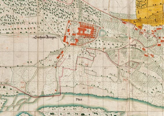
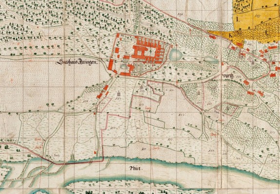
The Ittinger Carthusian Josephus Wech (1702–1761) left an impressive written work. He was active early in administration and eventually held the position of Procurator, meaning he was the monk responsible for the economy. Among his administrative manuals, one work stands out particularly: the property map dated 1745 with dimensions of approximately 3.2 × 5 meters.
This monumental masterpiece of cartography is being shown publicly for the first time in the exhibition.
Highlights
- First public presentation of the 1745 property map
- Monumental cartography measuring approximately 3.2 × 5 meters
- Work of the Carthusian Josephus Wech from the 18th century
General Information
The exhibition at the Ittingen Charterhouse showcases the significant 1745 property map created by the Carthusian Josephus Wech. The work is an outstanding example of historical cartography and is being made publicly accessible for the first time. The event takes place in Warth, Switzerland.
Location
8532 Warth, Schweiz
Loading map...
How to get there

Event Calendar
October 2026

Event Media

More events in Warth
 Ticket: CHF 0
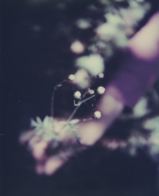
Simone Kappeler - nature vivante
- 2:00 pm
- Sep 13 - Dec 31, 2026
- 8532 Warth, Schweiz
 Ticket: CHF 0
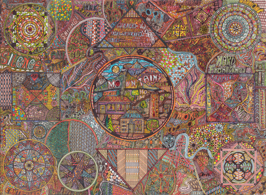
Vom Verlieren und (sich) Wiederfinden
- 2:00 pm
- Sep 27 - Dec 31, 2026
- 8532 Warth, Schweiz
 Ticket: CHF 490
Leisure Courses with a View
- 10:00 am
- Sep 12, 2026 - Jul 11, 2027
- Kartause Ittingen, 8532 Weiningen TG, Switzerland
Ready to Host an Event?
Create, manage, and promote your event in minutes.